
Material History: Dawson Artifacts
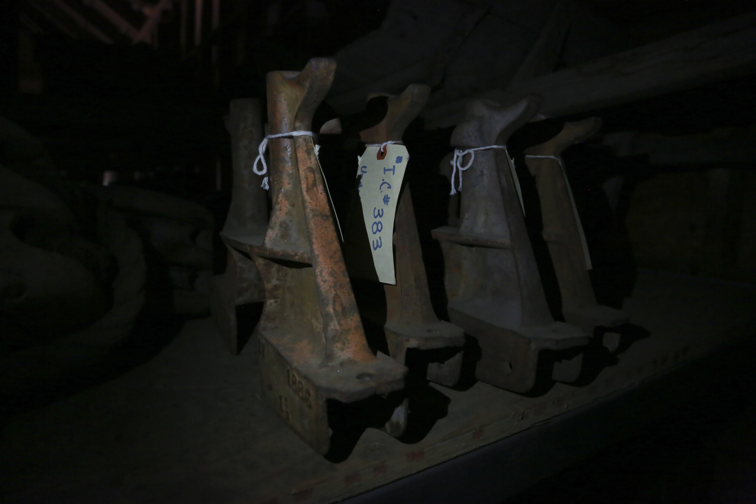
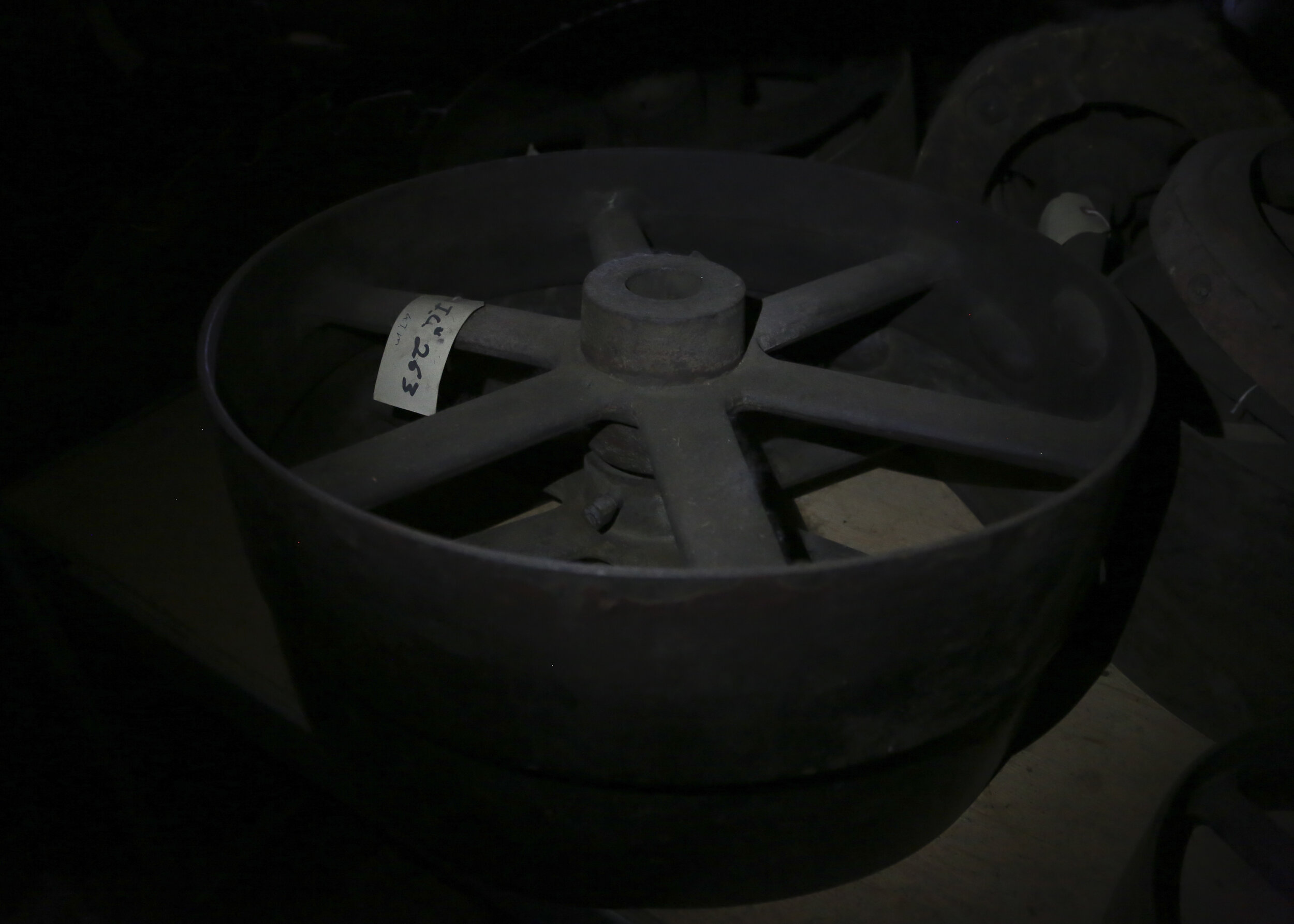
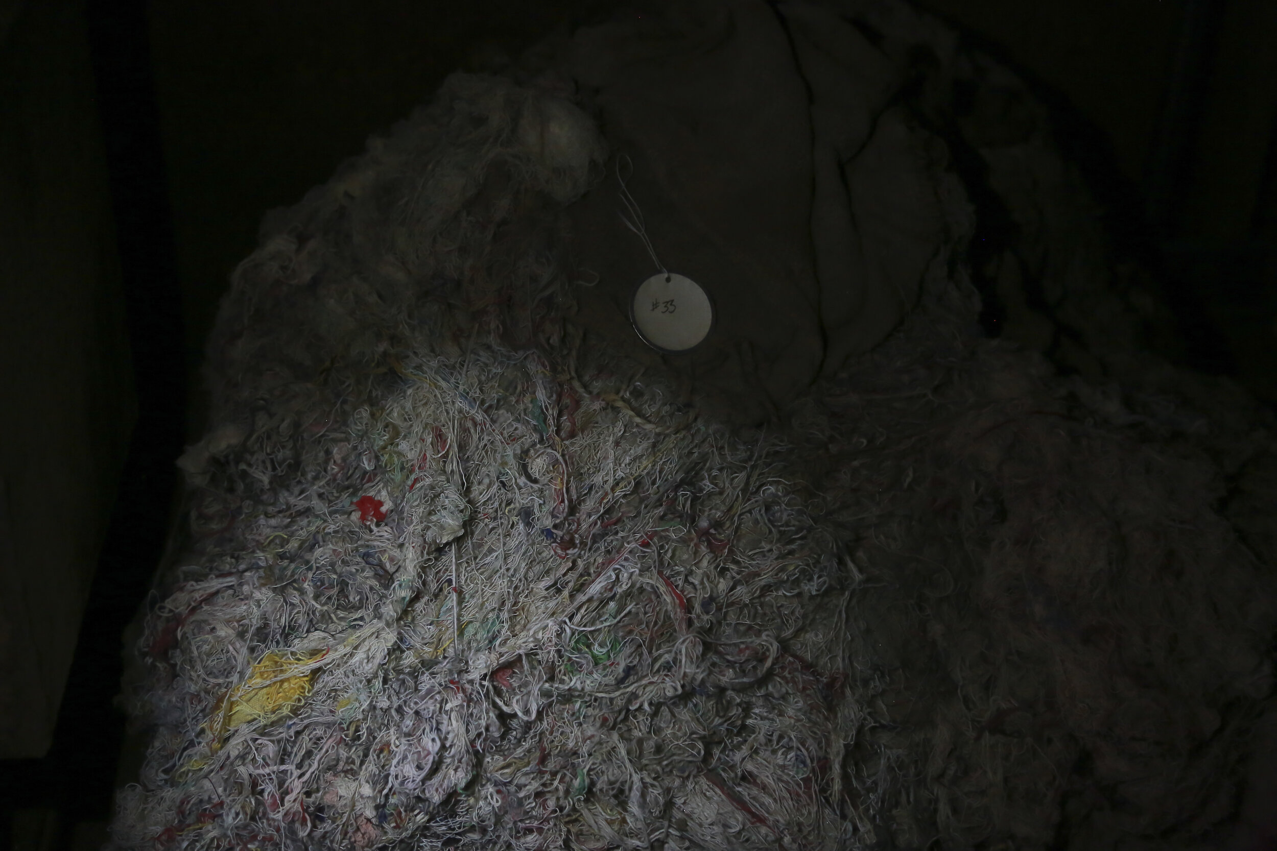
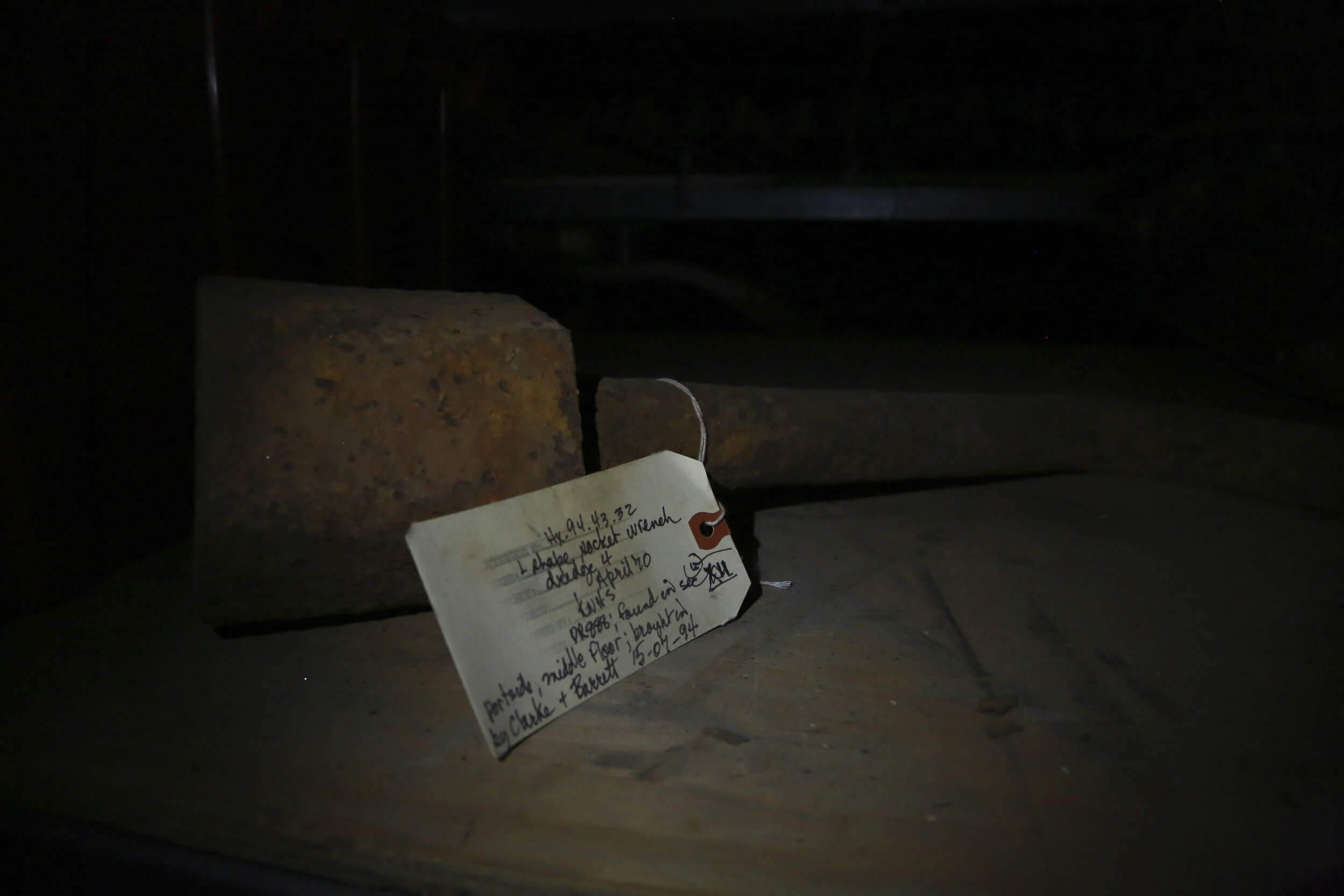
Many of the buildings in Dawson City, Yukon, form a kind of 'living museum'. Some sites remain undisturbed since the end of the Klondike Gold Rush (1899), while in others there have been various attempts made to preserve and categorize the objects and artifacts they contain-- with varying degrees of success. Many buildings themselves continue to be in a a state of neglect, exposed to the elements and are often without power.
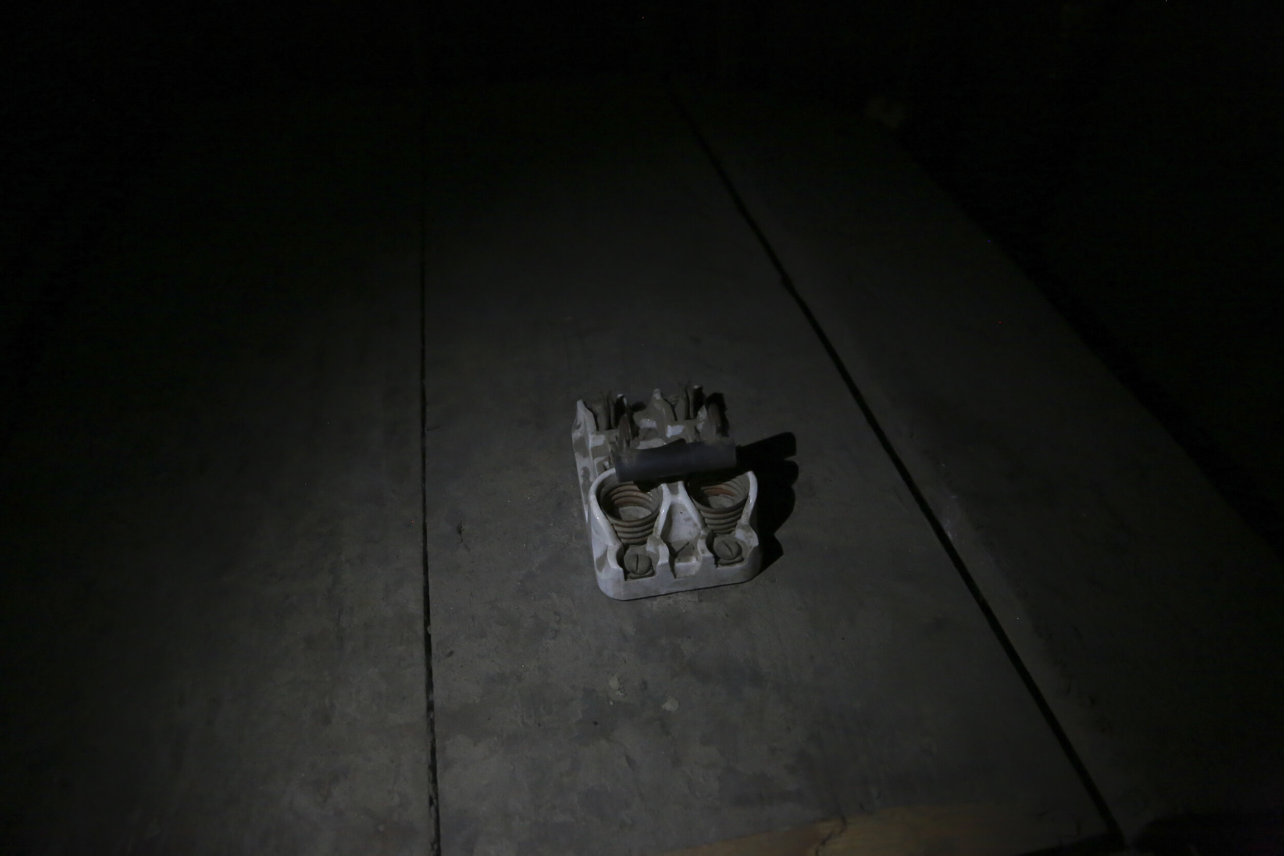
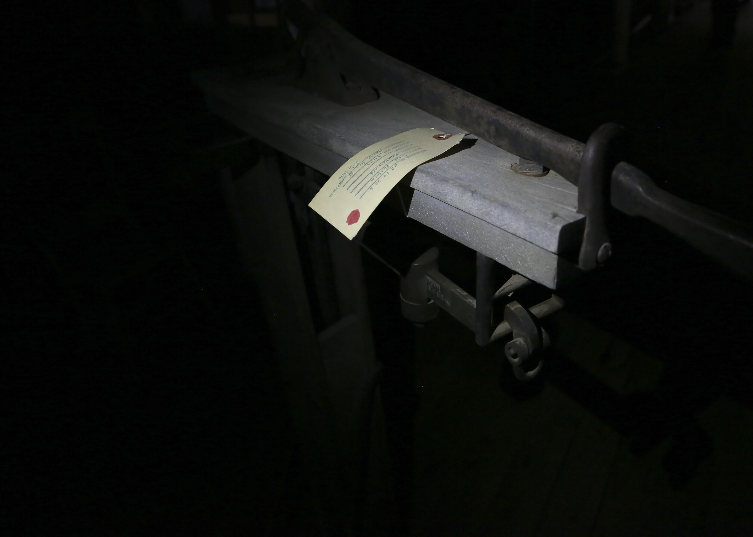
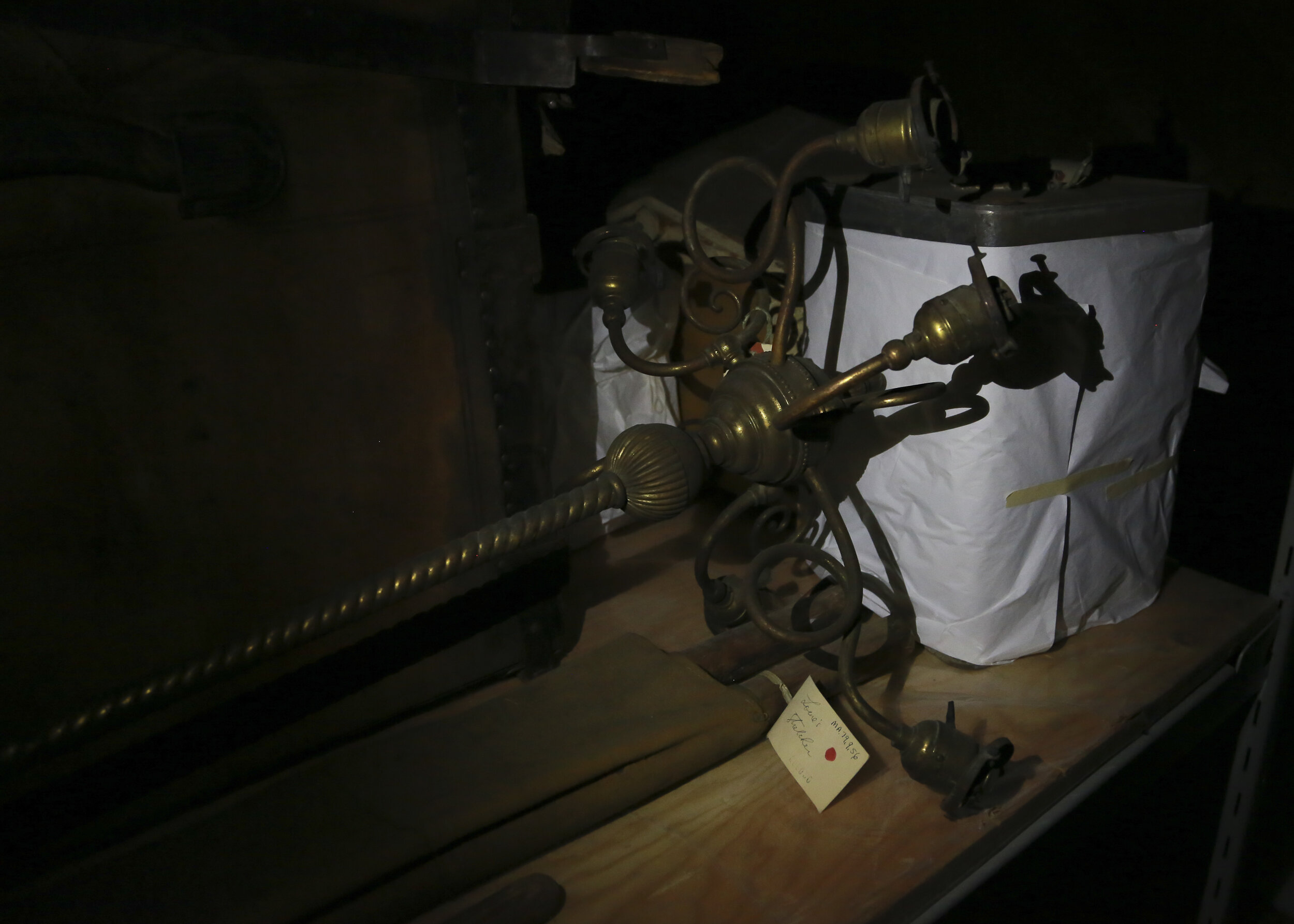
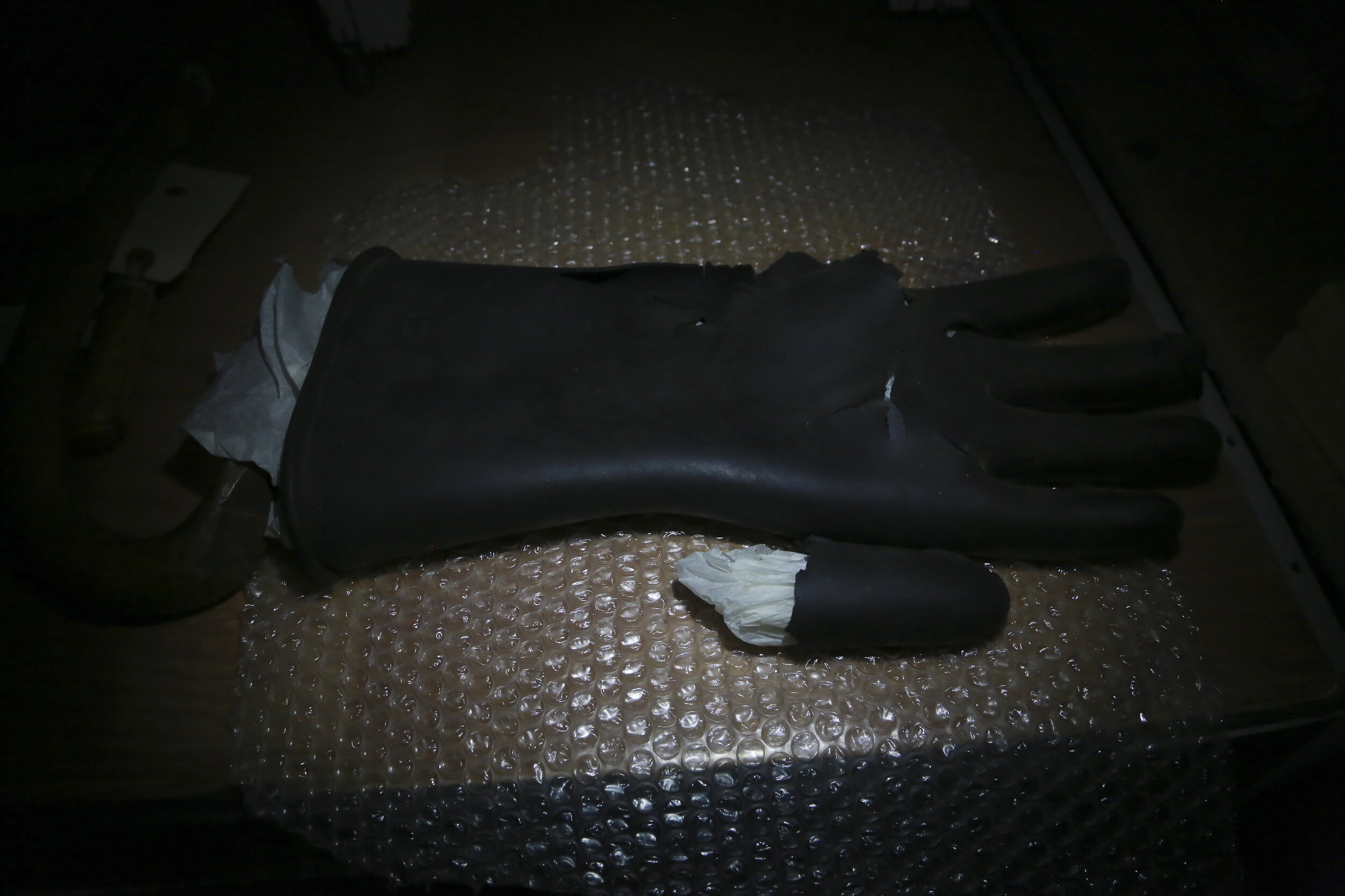
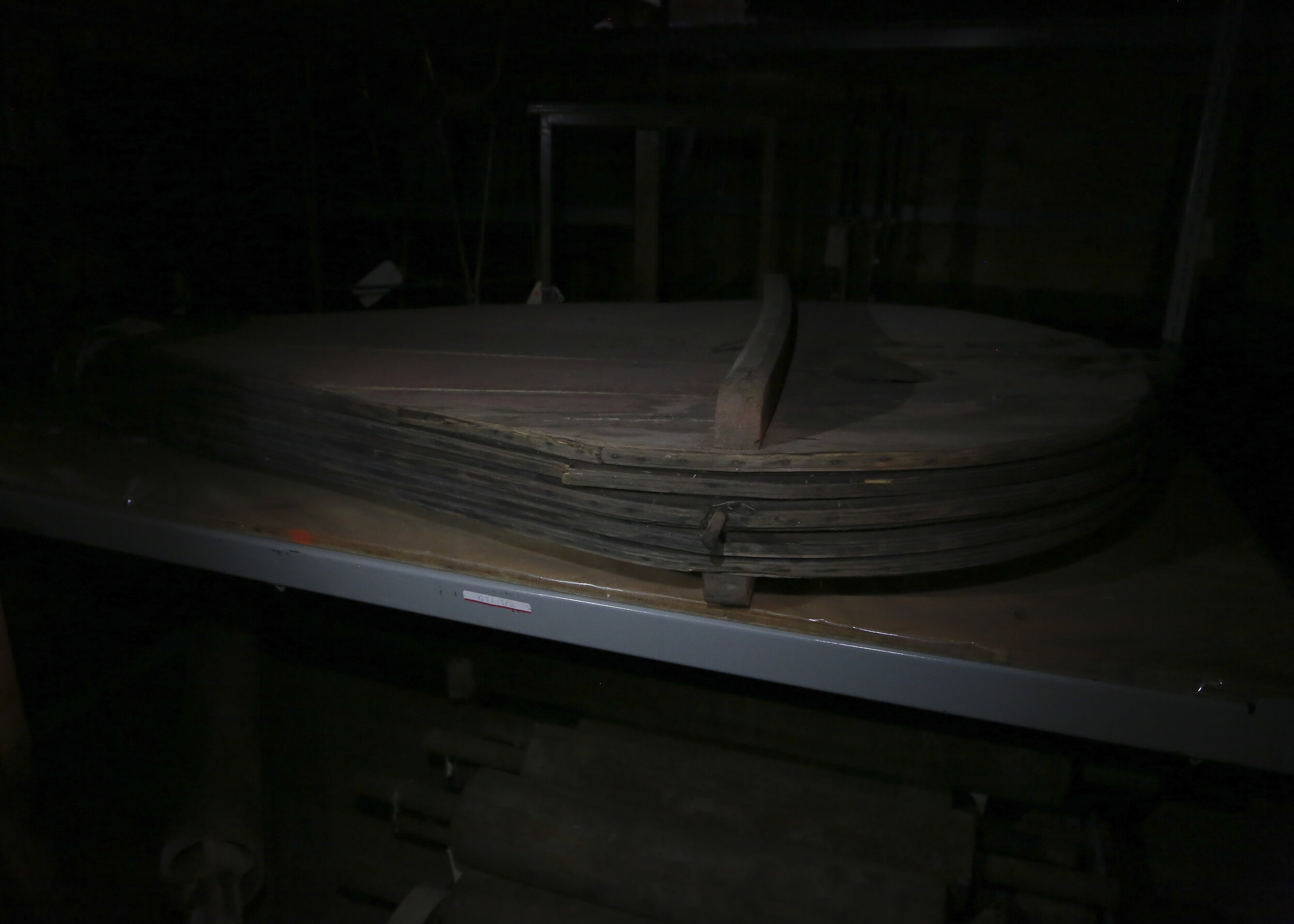
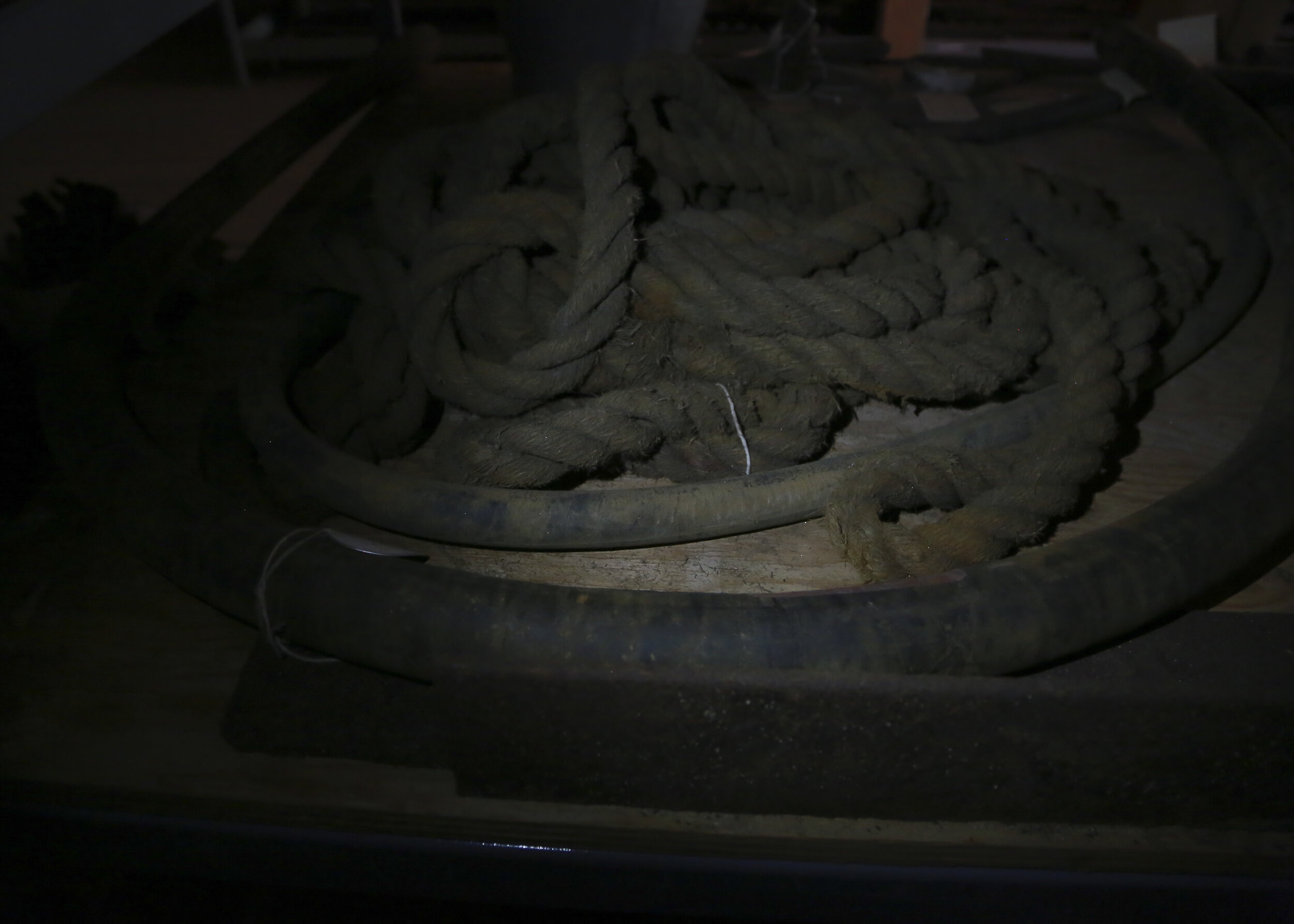
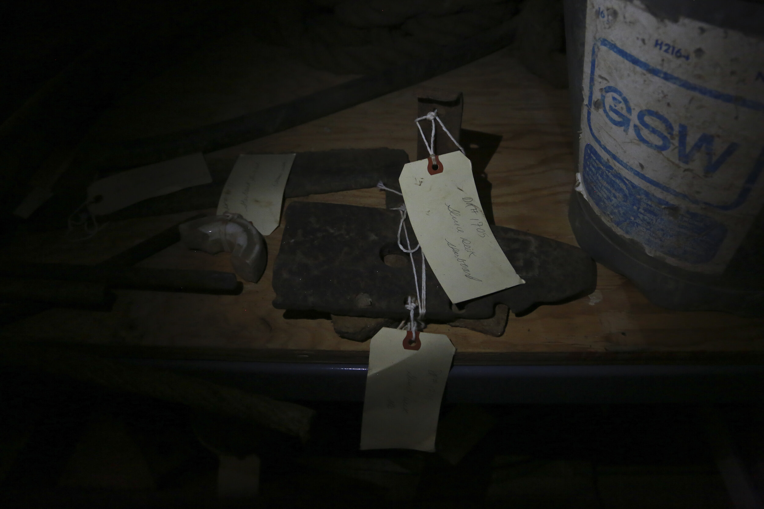
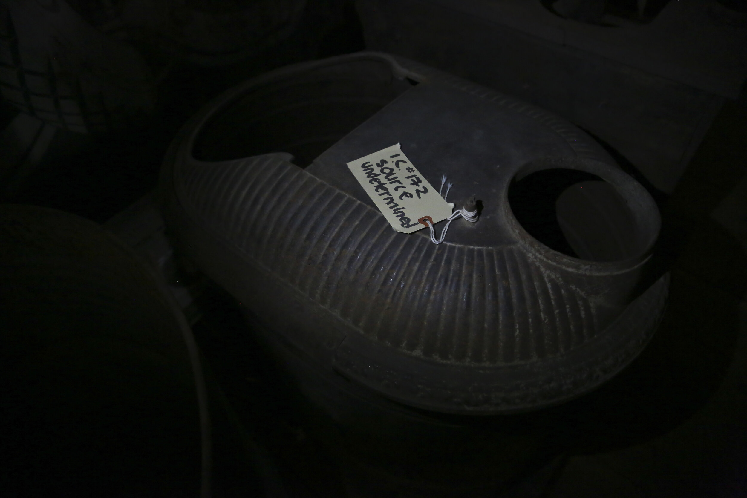
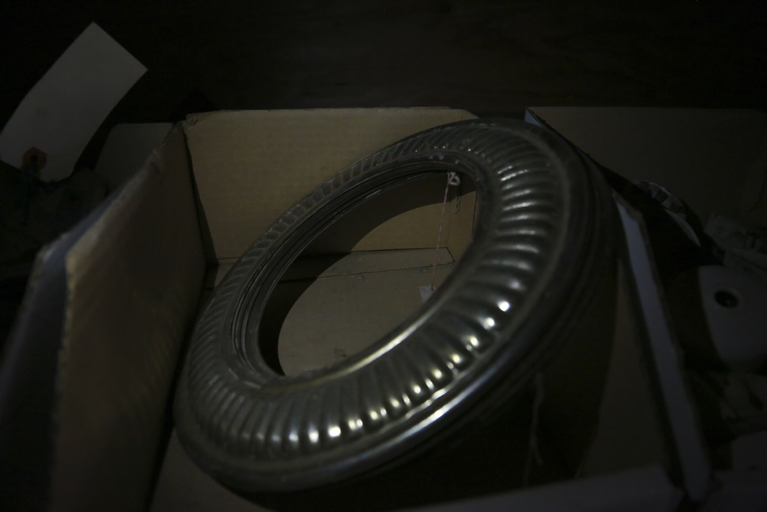
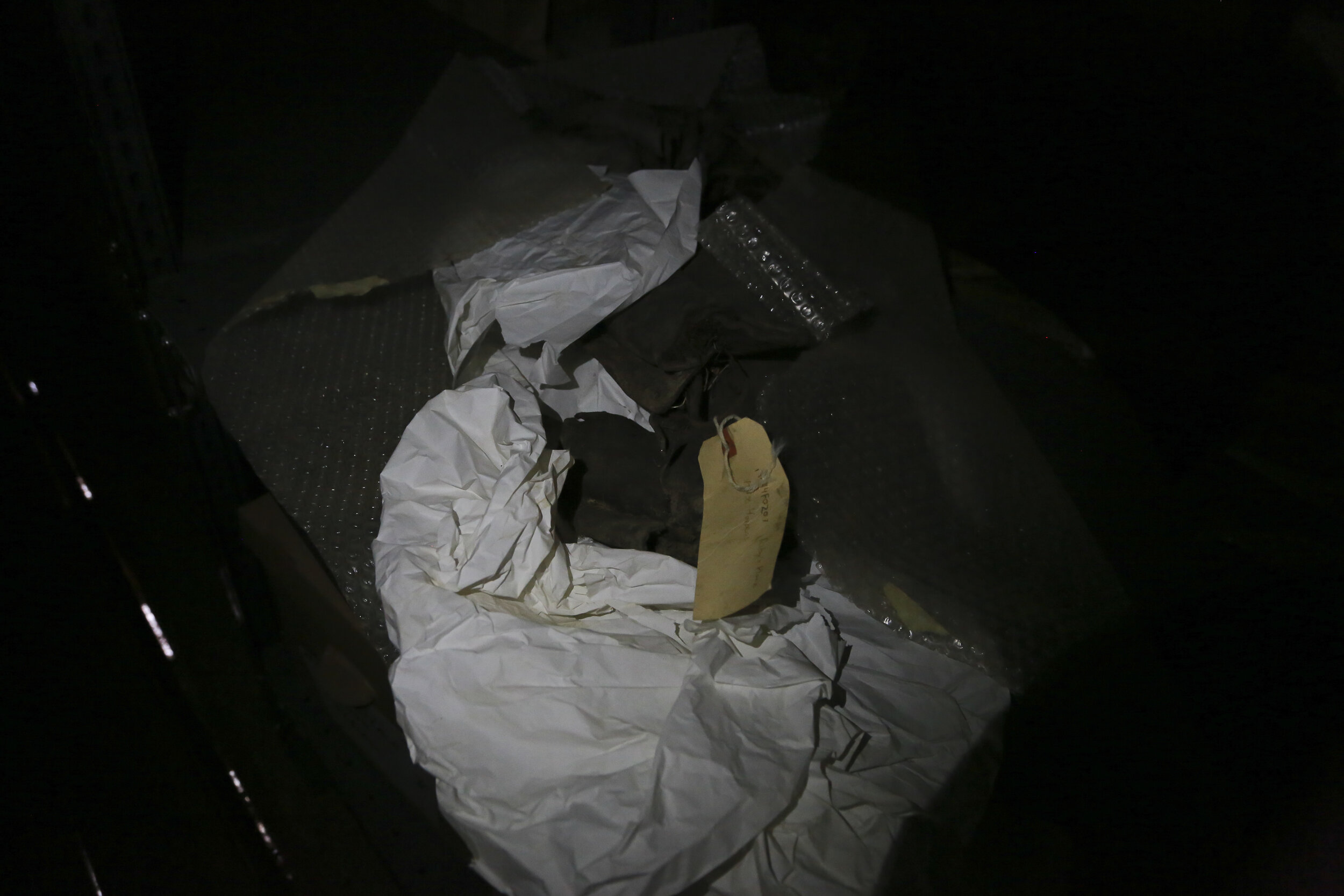
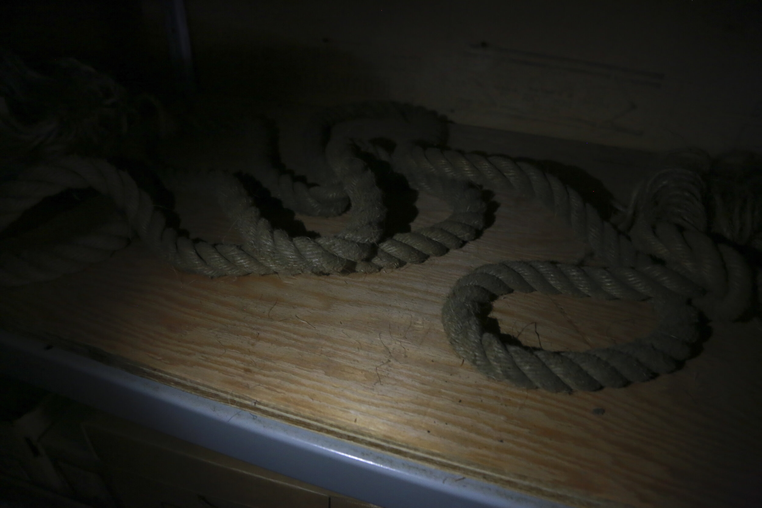
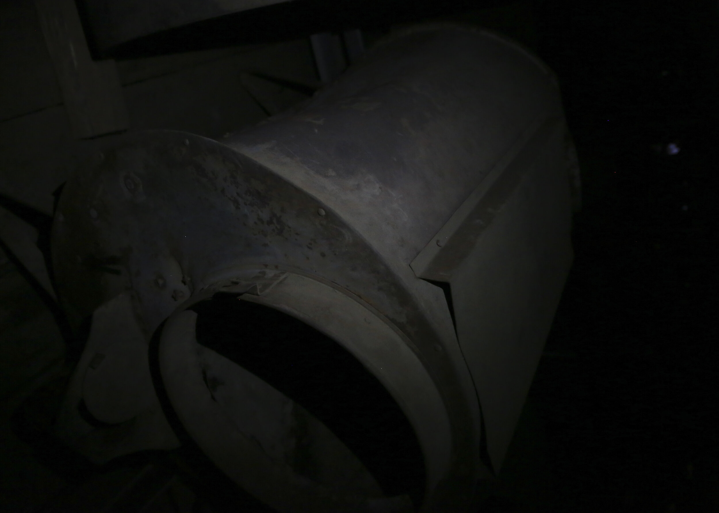
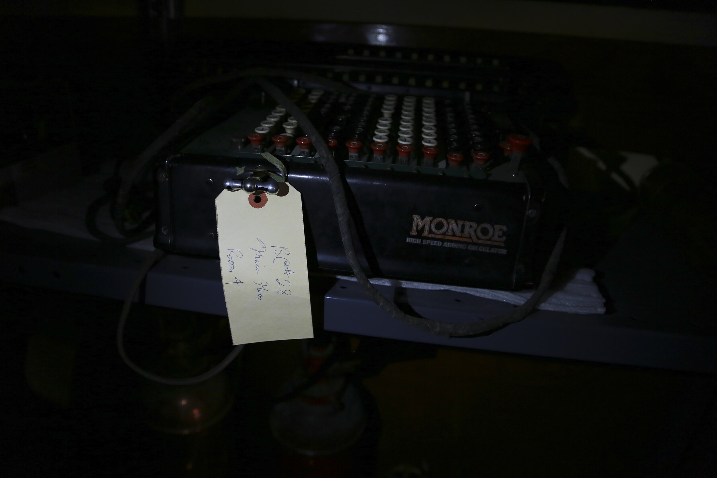
Material History: Dawson Artifacts is a photographic record of a stockpile of artifacts—both legitimate and 'as-of-yet-undesignated’. These images were shot wandering around unlit abandoned mine sites, buildings, and offices using a phone’s LED light as the only source of illumination. Images shot in 2015. Printed 2020.
Other Projects from Dawson City:
DAWSON CITY, YT (from Wikipdia.org)
”In prehistoric times the area was used for agriculture by the Hän-speaking people of the Tr’ondëk Hwëch’in and their forebears. The heart of their homeland was Tr'ochëk, a fishing camp at the confluence of the Klondike River and Yukon River, now a National Historic Site of Canada, just across the Klondike River from modern Dawson City. This site was also an important summer gathering spot and a base for moose-hunting on the Klondike Valley.
The current settlement was founded by Joseph Ladue and named in January 1897 after noted Canadian geologist George M. Dawson, who had explored and mapped the region in 1887. It served as Yukon's capital from the territory's founding in 1898 until 1952, when the seat was moved to Whitehorse.
Dawson City was the centre of the Klondike Gold Rush.[4] It began in 1896 and changed the First Nations camp into a thriving city of 40,000 by 1898. By 1899, the gold rush had ended and the town's population plummeted as all but 8,000 people left. When Dawson was incorporated as a city in 1902, the population was under 5,000. St. Paul's Anglican Church, also built that same year, is a National Historic Site.
The population dropped after World War II when the Alaska Highway bypassed it 300 miles (480 km) to the south. The economic damage to Dawson City was such that Whitehorse, the highway's hub, replaced it as territorial capital in 1953.[4] Dawson City's population languished around the 600–900 mark through the 1960s and 1970s, but has risen and held stable since then. The high price of gold has made modern placer mining operations profitable, and the growth of the tourism industry has encouraged development of facilities. In the early 1950s, Dawson was linked by road to Alaska, and in fall 1955, with Whitehorse along a road that now forms part of the Klondike Highway.
In 1978, another kind of buried treasure was discovered when a construction excavation inadvertently uncovered a forgotten collection of more than 500 discarded films on highly flammable nitrate film stock from the early 20th century that were buried in (and preserved by) the permafrost. These silent-era film reels, dating from "between 1903 and 1929, were uncovered in the rubble beneath [an] old hockey rink".[5] (See Dawson Film Find.) Owing to its dangerous chemical volatility,[6] the historical find was moved by military transport to Library and Archives Canada and the U.S. Library of Congress for both transfer to safety film and storage. A documentary about the find, Dawson City: Frozen Time was released in 2016.[7]”